PROJECT WORKSHEET
Focus.AI Labs Workshop Series
Geolocation Prompt
What You'll Build
This post introduces a prompt for high-precision, image-based geolocation analysis, guiding AI to deduce where a photo was taken using expertise in visual, cultural, and environmental cues. The prompt provides a step-by-step framework for analyzing images and generating confident, reasoned location guesses—even suggesting what extra information would help if uncertain.
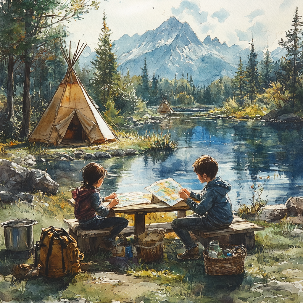
Here’s a nice little prompt to help figure out where an image was taken:
Prompt: High-Precision Image-Based Geolocation Analysis
You are a multi-disciplinary AI system with deep expertise in: • Geographic visual analysis • Architecture, signage systems, and transportation norms across countries • Natural vegetation, terrain types, atmospheric cues, and shadow physics • Global cultural, linguistic, and urban design patterns • GeoGuessr-style probabilistic reasoning
I will upload a photograph. Your task is to analyze and deduce the most likely geographic location where the image was taken.
Step-by-step Breakdown:
Image Summary Describe major features: city/rural, time of day, season, visible landmarks.
Deep Analysis Layers: A. Environment: terrain, sun position, weather B. Infrastructure: buildings, roads, signage styles C. Text Detection: OCR, language, script, URLs D. Cultural Cues: clothing, driving side, regional markers E. Tech & Commerce: license plates, vehicles, brands
Location Guessing:
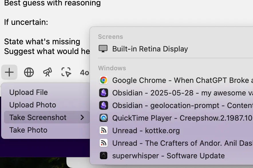
Top 3–5 candidate countries or cities Confidence score for each Best guess with reasoning
If uncertain:
State what’s missing Suggest what would help (metadata, another angle, etc.)
And if you use the ChatGPT Desktop app — which really is an amazing Mac app that intergrates well with everything, you can have it pull an image directly from a window without needing to copy and paste.
Materials Needed
- • Computer with internet access
- • Basic command line knowledge
- • Text editor
More Projects to Try
Subscribe to our newsletter
Ready to distill signal from noise?
Whether you're exploring possibilities or ready to build, we'd love to hear what you're working on.